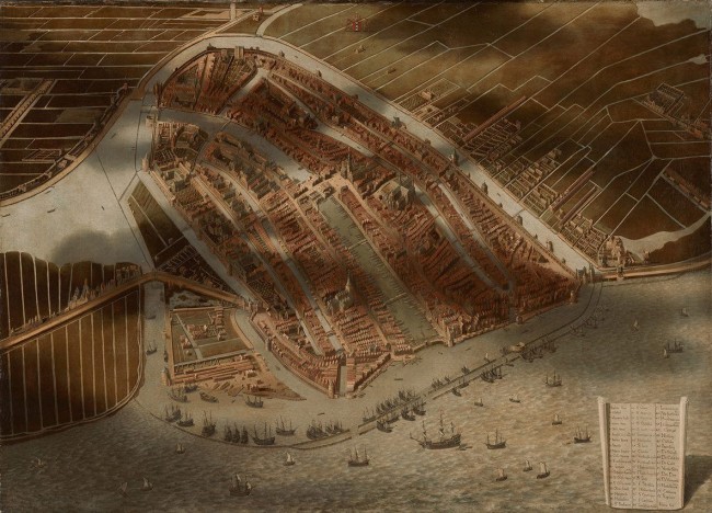
I enjoy looking at historic maps and other visual displays of information. I was browsing online images from the National Gallery of Art’s current exhibit “Pride of Place: Dutch Cityscapes of the Golden Age” and was startled to see “A Bird’s-Eye View of Amsterdam” painted (around 1652), by Jan Micker.
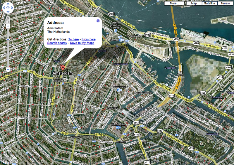
Micker’s work certainly parallels the Google Map satellite view. Especially noteworthy are his realistic depiction of details, shadows of clouds and the large key with drop shadow in the lower right corner. Not bad considering he lacked an aerial perspective. He was inspired by a similar work (minus shadows) from 1538 by Cornelis Anthonisz.
Below is a current Google Map of Amsterdam for comparison.
Note: the Google maps faces north. Micker’s view faces south.
Click map to enlarge or go to Google map of Amsterdam


